Downloaddienst FNP_SG_Fredenbeck (Zusammenzeichnung)
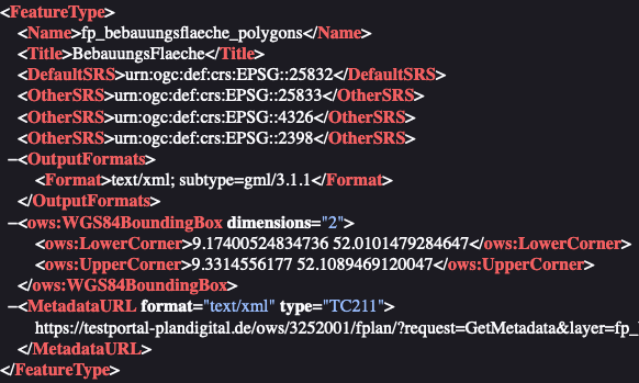
Downloaddienst (WFS) des Plans FNP_SG_Fredenbeck (Zusammenzeichnung). Flächennutzungsplan Samtgemeinde Fredenbeck Flächennutzungsplan Samtgemeinde Fredenbeck inkl. Berichtigungen bis Rechtskraft 30.01.2020 Es handelt sich um einen Gebrauchsdienst der Zusammenzeichnung von Planelementen mit je einem Layer pro XPlanung-Klasse. Das Datum der letzten Änderung ist der 08.10.2020. Die Umringe der Änderungspläne sind im Layer Geltungsbereiche zusammengefasst.
Simple
Identification info
- Date (Publication)
- 2020-10-08
- Citation identifier
- https://mis.testportal-plandigital.de/geonetwork/srv/api/records/681d12ba-439e-4e22-b8ad-159bfde22127/formatters/xml?approved=true
- Keywords
-
-
Downloaddienst
-
DownloadService
-
Flächennutzungsplan
-
Flächennutzungspläne
-
F-Plan
-
F-Pläne
-
X-Planung
-
XPlanung
-
XPlanGML
-
FPläne
-
FPlan
-
opendata
-
infoFeatureAccessService
-
PlanDigital
-
-
GEMET - INSPIRE themes, version 1.0
-
-
Bodennutzung
-
- Theme
-
-
inspireidentifiziert
-
landuse
-
- Access constraints
- Other restrictions
- Other constraints
- no limitations to public access
- Use constraints
- Other restrictions
- Other constraints
- No conditions apply to access and use
- Topic category
-
- Planning cadastre
- Service Type
- download
))
- Geographic identifier
- 033595402000
- Coupling Type
- Tight
Contains Operations
- Operation Name
-
GetCapabilities
- Distributed Computing Platforms
- Web services
- Unique resource identifier
- EPSG 25832: ETRS89 / UTM Zone 32N
- Unique resource identifier
- EPSG 4258: ETRS89 / geographisch
- Unique resource identifier
- EPSG 4326: WGS84 geographic coordinates
- Hierarchy level
- Service
- Other
-
service
Conformance result
- Date (Publication)
- 2010-12-08
- Explanation
-
Der Downloaddienst ist konform zur angegebenen Verordnung.
- Pass
- Yes
- File identifier
- 681d12ba-439e-4e22-b8ad-159bfde22127 XML
- Metadata language
- Deutsch
- Character set
- UTF8
- Hierarchy level
- Service
- Hierarchy level name
-
Service
- Date stamp
- 2024-11-13T12:16:09
Overviews
Spatial extent
Provided by
