Downloaddienst Flaechenutzungsplan Gemeinde Seevetal
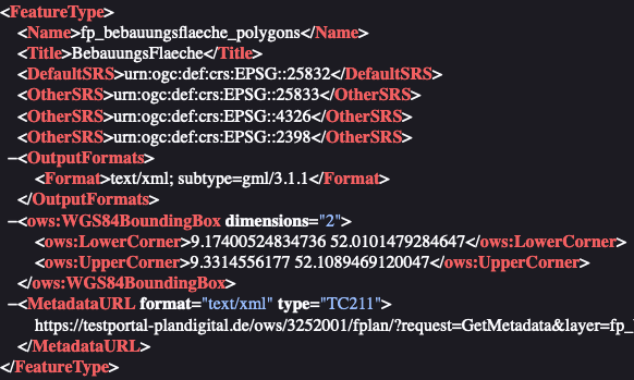
Downloaddienst (WFS) des Plans Flaechenutzungsplan Gemeinde Seevetal. Flächennutzungsplan Gemeinde Seevetal Flächennutzungsplan Gemeinde Seevetal inkl. Änderungen bis Rechtskraft 22.11.2021 Es handelt sich um einen Gebrauchsdienst der Zusammenzeichnung von Planelementen mit je einem Layer pro XPlanung-Klasse. Das Datum der letzten Änderung ist der 14.02.2020. Die Umringe der Änderungspläne sind im Layer Geltungsbereiche zusammengefasst.
Simple
Identification info
- Date (Publication)
- 2020-02-14
- Citation identifier
- https://mis.testportal-plandigital.de/geonetwork/srv/api/records/75c4861a-8598-4c39-81e0-ade740fcb786/formatters/xml?approved=true
- Keywords
-
-
Downloaddienst
-
DownloadService
-
Flächennutzungsplan
-
Flächennutzungspläne
-
F-Plan
-
F-Pläne
-
X-Planung
-
XPlanung
-
XPlanGML
-
FPläne
-
FPlan
-
opendata
-
infoFeatureAccessService
-
PlanDigital
-
-
GEMET - INSPIRE themes, version 1.0
-
-
Bodennutzung
-
- Theme
-
-
inspireidentifiziert
-
landuse
-
- Access constraints
- Other restrictions
- Other constraints
- no limitations to public access
- Use constraints
- Other restrictions
- Other constraints
- No conditions apply to access and use
- Topic category
-
- Planning cadastre
- Service Type
- download
))
- Coupling Type
- Tight
Contains Operations
- Operation Name
-
GetCapabilities
- Distributed Computing Platforms
- Web services
- Unique resource identifier
- EPSG 25832: ETRS89 / UTM Zone 32N
- Unique resource identifier
- EPSG 4258: ETRS89 / geographisch
- Unique resource identifier
- EPSG 4326: WGS84 geographic coordinates
- Hierarchy level
- Service
- Other
-
service
Conformance result
- Date (Publication)
- 2010-12-08
- Explanation
-
Der Downloaddienst ist konform zur angegebenen Verordnung.
- Pass
- Yes
- File identifier
- 75c4861a-8598-4c39-81e0-ade740fcb786 XML
- Metadata language
- Deutsch
- Character set
- UTF8
- Hierarchy level
- Service
- Hierarchy level name
-
Service
- Date stamp
- 2024-11-13T12:14:29
Overviews
Spatial extent
Provided by
